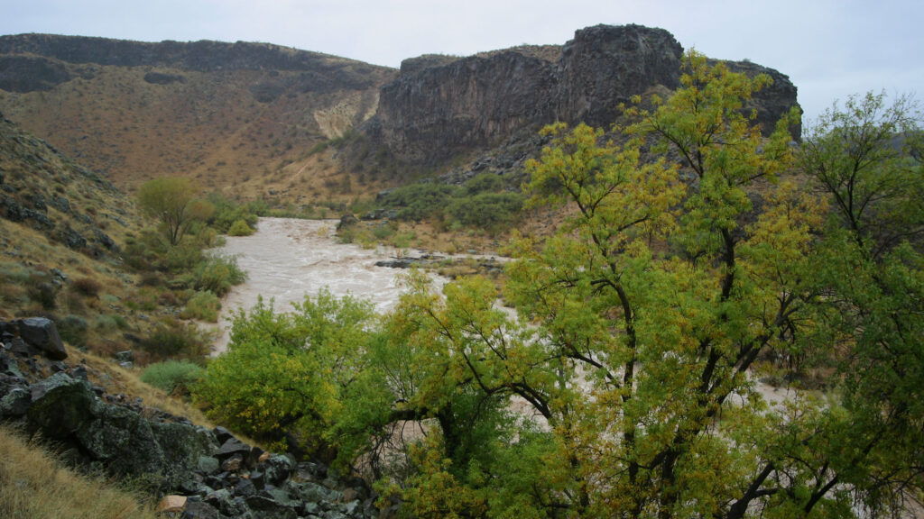
Hiking trails crisscross the park: connecting towns and experiences. Cool waters flowing downstream from Zion National Park feed a verdant landscape beloved by animals and people alike. Ancient petroglyphs and pioneer-era structures tell the story of a land inhabited for millennia. Long-distance trails access the Red Cliffs Desert Reserve, with more than 130 miles of additional recreation opportunities.
Hours of Operation
Monday – Sunday, Sunrise – Sunset
Vicinity Map
Directions to Confluence Park
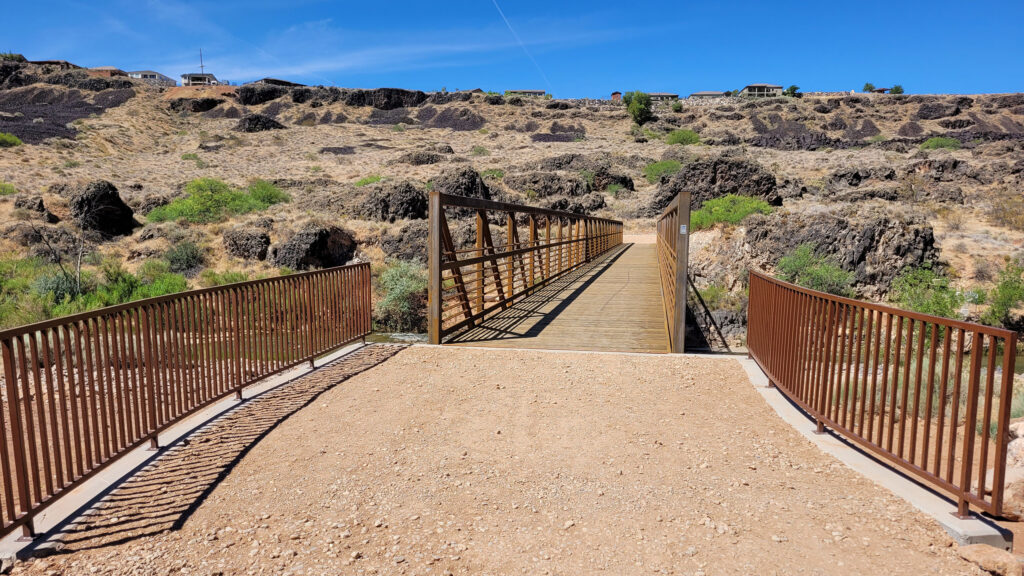
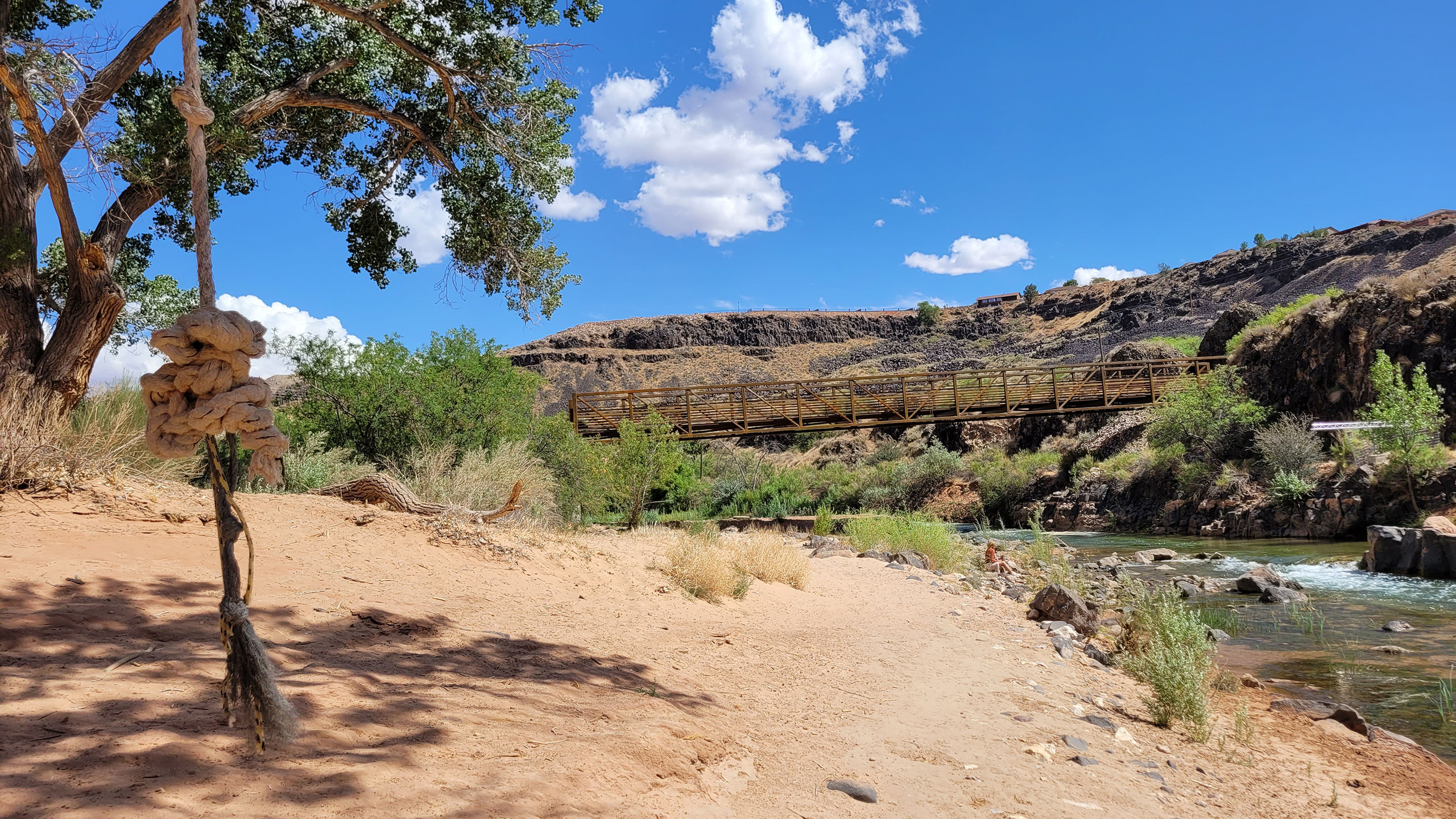
The main entrance to Confluence Park is at the LaVerkin North Trailhead. You can also access the park from several locations on the cliffs above, but these all require a steep descending hike and have limited parking.
LaVerkin North Trailhead
From State Street in LaVerkin, turn west on 900 North into a subdivision called Riverwoods. The paved road ends with the houses, but a dirt road continues south. Continue on the dirt road to the Confluence Park parking lot about a half mile down.
Rim to River Trail (LaVerkin South Trailhead)
Near the intersection of 300 South and State Street (behind River Rock Roasting Company), a large dirt lot sits on top of the cliffs. A gravel path descends from trailhead signs there to the riverside trail below. Switchbacks and a somewhat steep grade alternate with concrete stairs and hand rails.
Near the trailhead there is historic access to the old descent behind The Dwellings vacation rentals. This access is marked “Near Confluence Park” on Google Maps, but there is no free parking conveniently located. It’s best to park at the lot behind River Rock and either proceed to the old access or descend the Rim to River Trail.
Power Plant Park
Just north of the Rim to River trailhead at the end of 210 South in LaVerkin, Power Plant Park has toilet facilities and water fountains along with small lawn and interpretive signs. A concrete staircase anchored in the cliffside on the west end of the park connects to a narrow switchback path that eventually joins the main riverside trail.
Hurricane Trailhead
From Main Street in Hurricane, travel north until the road ends at the clifftops. A vault toilet and signs mark the trailhead, with a stepover and a small footpath leading to the river below.
Center Street (LaVerkin) Trailhead
From State Street in LaVerkin, turn west on Center Street. The paved road ends with a right-angle turn to 560 West, but a short dirt cul-de-sac beyond provides access to a stepover and steep gravel trail that leads down into Confluence Park.